Geographical Application:
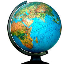
Identify and use geographical tools and explain their significance. Identify and locate the world’s continents (7) and oceans (5) and consider why geographers divided the world in this way. Recognize and apply key terms and vocabulary appropriately in context.
Geographical Analysis:
Explain the difference between countries and continents and other political divisions. Describe the earth’s major landforms and how
landforms affect where people live. Describe the three major climate zones (high-latitude/polar, mid-latitude/temperate, low-latitude- tropic) of the world and where each zone is located and analyzed how it effects where and how people live.
 RSS Feed